
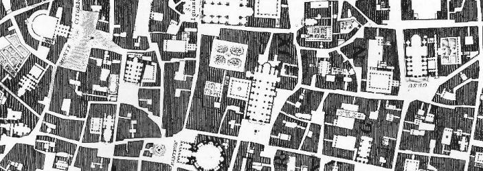
Interactive Nolli map
Giambattista Nolli's 1748 Map of Rome –
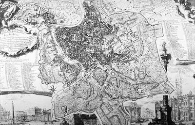
– "is widely regarded by scholars as one of the most important historical documents of the city ever created. This project is a collaborative exploration of the exquisite Nolli engraving, through its historic significance and contemporary application."
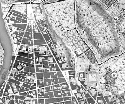
In other words, two professors at the University of Oregon have made it interactive: you can focus on the Tiber, on the city walls, zoom in, zoom out, switch to a satellite view...
Plus this guide to Nolli's cartographic symbols:
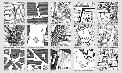
Symbols used thusly:

(Nolli link originally spotted on Archinect; also see Pruned).
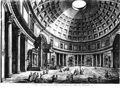
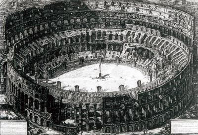
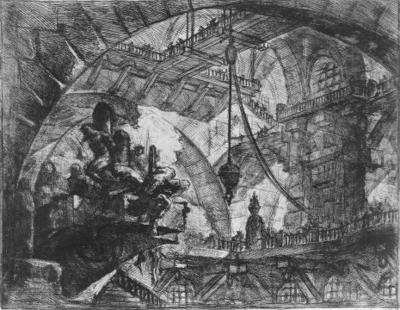
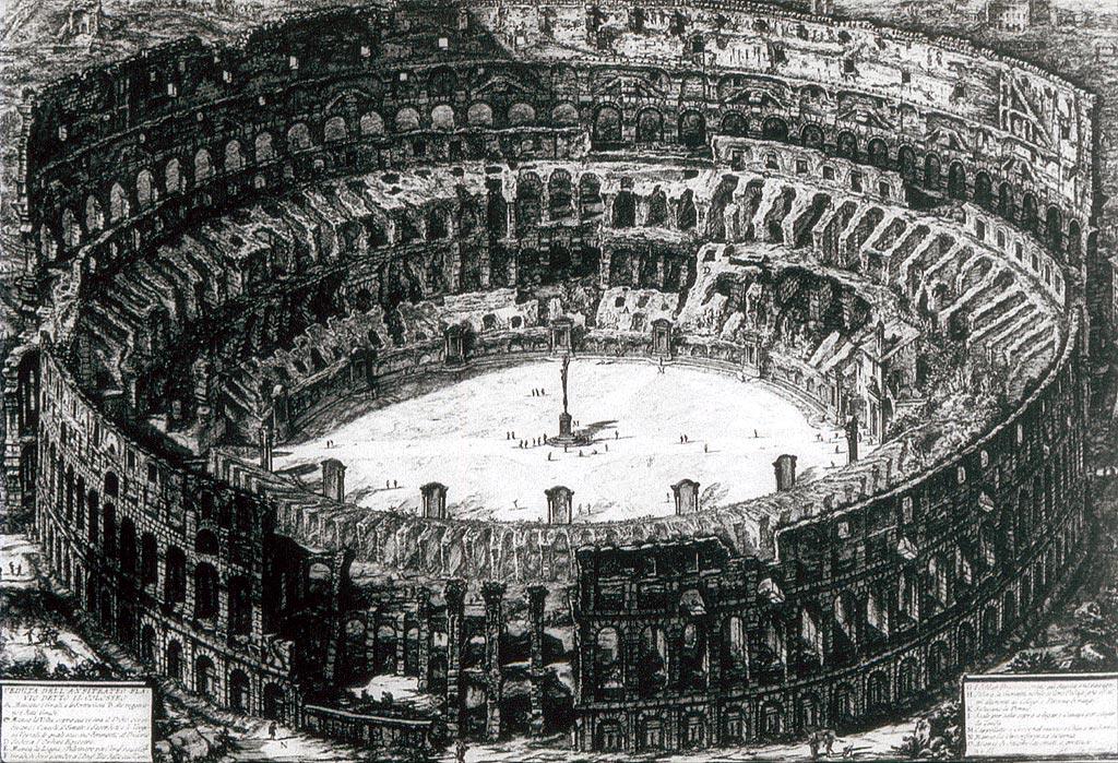
In this context, however, I can't resist putting up some of Piranesi's Rome images, as I have a somewhat irrational love for Piranesi:

– "is widely regarded by scholars as one of the most important historical documents of the city ever created. This project is a collaborative exploration of the exquisite Nolli engraving, through its historic significance and contemporary application."

In other words, two professors at the University of Oregon have made it interactive: you can focus on the Tiber, on the city walls, zoom in, zoom out, switch to a satellite view...
Plus this guide to Nolli's cartographic symbols:

Symbols used thusly:
(Nolli link originally spotted on Archinect; also see Pruned).
In this context, however, I can't resist putting up some of Piranesi's Rome images, as I have a somewhat irrational love for Piranesi:


Comments are moderated.
If it's not spam, it will appear here shortly!
Post a Comment